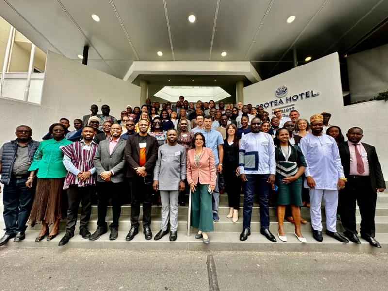
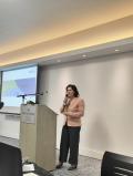
The first Global Dialogue Forum of the Earth Survey Organization's Land Degradation Neutralization Initiative was held.
Deputy Minister of Environment Tigran Gabrielyan, Deputy Head of the Department of Lands and Subsoil Policy of the Ministry, National Coordinator of the UN Convention "Combating Desertification" Narine Hakobyan, Head of the Water Resources Management Department Gayane Hovsepyan, and the Cadastre Committee participated in the forum held in Cape Town, South Africa. land fund management GIS specialist Lusine Yeghiyan.
The goal of the GEO-LDN Global Dialogue is to bring together countries that value Earth observation data, geospatial technologies and cross-sector cooperation for land use planning and achieving land degradation neutrality. GEO-LDN has adopted an approach to help partner countries define needs at regional and national levels, propose appropriate solutions, support relevant actors in partner countries using Earth observation data to monitor land degradation and work towards LDN.
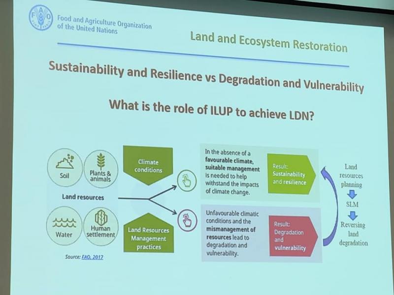
The representatives of the GEO-LDN and UNCCD secretariat made an opening speech, the road map of the event was presented. FAO presented new guidelines for the FAO ILUP tool, highlighting their importance in the context of land degradation neutrality.
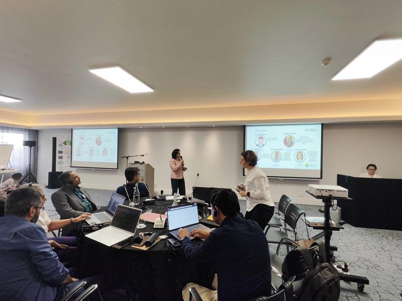
The GEO-LDN secretariat and experts summarized common issues and proposals, developed preliminary proposals for UNCCD to increase the credibility of country accountability data using country observation data and geospatial technologies.
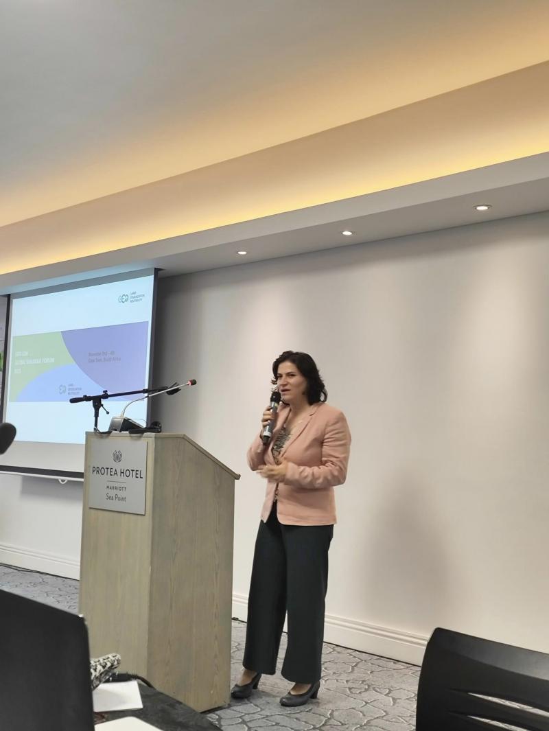
Narine Hakobyan made a report and presented information to the participants of the forum about the set targets for achieving the neutralization of land degradation in the country, land fund management, cadastral data and land cover data collection, as well as existing obstacles, needs and challenges related to data, and ways to overcome them.
The Armenian delegation proposed to the GEO-LDN secretariat to consider the possibility of possible assistance in the creation of a digital map of the land cover of Armenia, as well as the possibility of frequent involvement in similar meetings.


